Why measure? Introducing the Water Indicator Application
Contributors: Katharine Cross, Raul Glotzbach, Paola Espinoza
Blog
Our daily life is full of indicators: from GDP providing an indication of economic health, to grades in school to show how a student has performed, to body temperature confirming whether or not a patient has a fever. But, what are indicators and why are they important?
Indicators are a measurement or value that gives you an idea of what something is like. They help us to track the development of statuses, projects or even sicknesses. Indicators help us to see and understand if a situation is improving or getting worse.
Indicators applied in water resources help us to understand a wide variety of quality and quantity challenges. They are also fundamental to helping understand changes brought about to the water cycle by climate change. In the water world, indicators allow us to observe and understand the situation of water quality, rainfall, floods and droughts, and can help establish a basin-wide view of how we should respond.
Measuring these parameters, however, can be very complicated. Take, for example, tracking the beginning and end of a drought. Information about rainfall alone is not always enough to determine the length of a drought or its severity. There are many indicators that could be used to assess drought, and those choices are part of the problem. How do we know which ones would be best applied to understand our specific situation? How do we use the assessment to provide more comprehensible information on a drought?
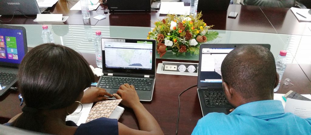
The Flood and Drought Management Tools project is looking at ways to address these concerns. The project has developed the Water Indicator Application, which offers a good starting point to identify the right indicators to assess a particular situation. The application has a default framework that can easily be adjusted to different needs, providing us with the best set of indicators for an organisation or project. Each indicator comes with an explanation of how it can be applied and the data required for an assessment. The application is also a learning tool for basin organisations and other users.
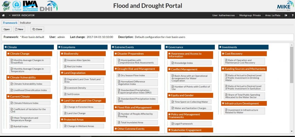
Flood and Drought Portal indicators overview
The Water Indicator Application opens up new possibilities for different users from basin organisations, to civil society, to utilities. The Application is practical for creating a framework to guide performance improvement in managing water resources, and understanding the full range of possibilities is beneficial for water utilities. This is true of drought indicators and rainfall indicators, both of which could be relevant for the creation of new risk management programs.
A growing concern for utilities is the disruption of supply due to water scarcity and drought. In order to monitor the situation the utility needs to know what to measure, what information is being provided, and how to use it to better understand and manage water resources. The Water Indicator Application provides us with new opportunities for the mitigation of future droughts and floods. This is critical as uncertainty in climate variability grows and the impacts of climate change are felt more severely on water security.
The Water Indicator Application is accessible at www.flooddroughtmonitor.com, and the Application is accessible for all registered users of the Flood and Drought portal, which is targeted at decision makers at the basin and local level to support their planning processes. You can release note here: http://fdmt.iwlearn.org/en/news/FDMT-Water-Indicator-application.
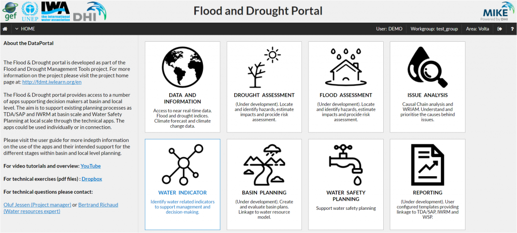
Flood and Droughts Portal home page
About the Flood and Drought Management Tools project
The Flood and Drought Management Tools (FDMT) project funded by the Global Environment Facility (GEF) International Waters (IW) and implemented by UN Environment (UNEP), with DHI and the International Water Association (IWA) as the executing agencies. This project is developing online technical applications to support planning from the transboundary basin to water utility level by including better information on floods and droughts. The project is being implemented from 2014 – 2018, with 3 pilot basins (Volta, Lake Victoria and Chao Phraya) participating in development and testing of the methodology and technical applications.